We Design and Apply Computer Simulation Models to:
-
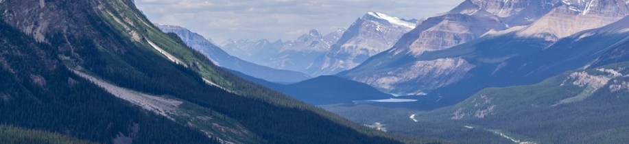
Estimate how ecosystem services and water resources will respond to environmental change and human actions
-
Integrate data from diverse sources (remote sensing, field observations, chemicals, flow rates) with mechanistic understanding
-
Visualize the invisible movement of water, and materials through the environment

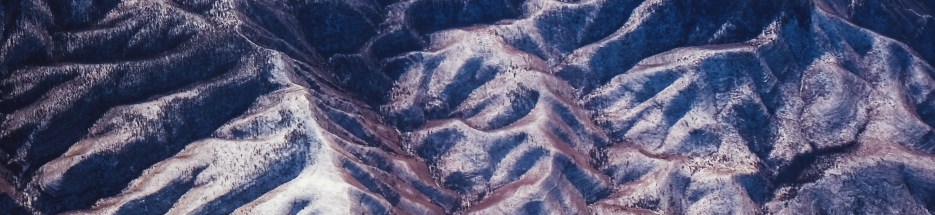
 RHESSys: The Regional Hydro-Ecologic Simulation System
- A GIS-based, hydro-ecological modeling framework designed to simulate carbon, water, and nutrient fluxes
- Combines a set of physically-based process models and a methodology for partitioning and parameterizing the landscape
- Models the spatial distribution and spatio-temporal interactions between different processes at the watershed scale
Visit the RHESSys Website
Visit the RHESSys Wiki
Download the RHESSys Code