
TagueTeamLab leader Naomi Tague and member Will Burke were advisors on the Bren MESM project for Team Citeplan, who spent the last year investigating the relationship between timber management, fire regimes, and wildfire behavior. Now, their findings and deliverables are being sent to a team of researchers at UC Berkeley and to officials at CAL FIRE where they will hopefully use Citeplan’s standardized approach for Wildfire Risk and Hazard assessment.
Congratulations to Bren MESM student team members Caitlin Swalec, Lauren Krohmer, Emma Siegfried, Laura Gray, and Courtney Schatzman on completing this project!
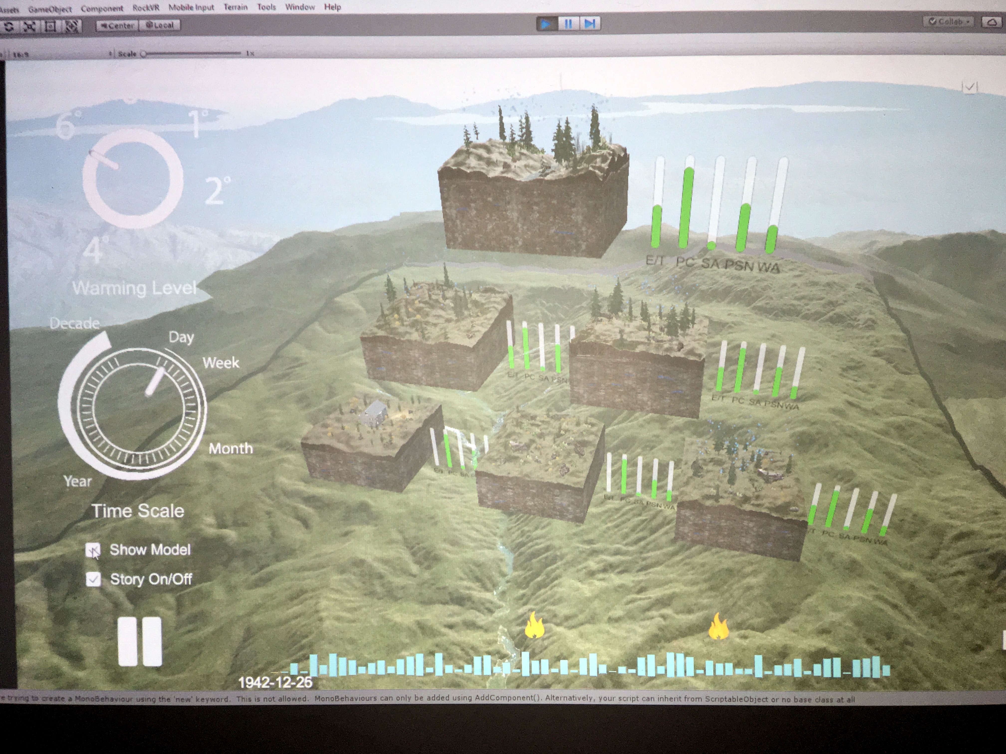
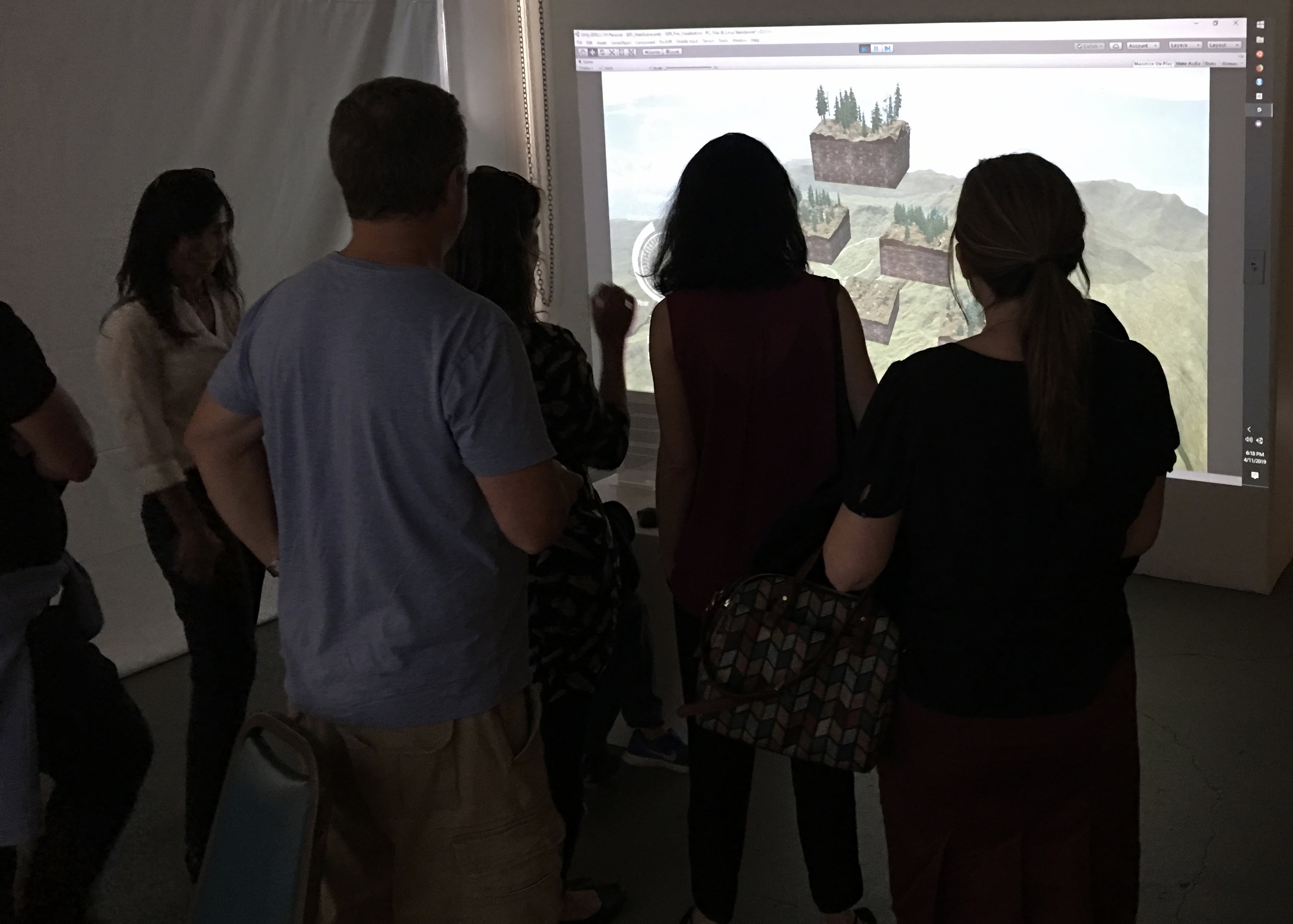
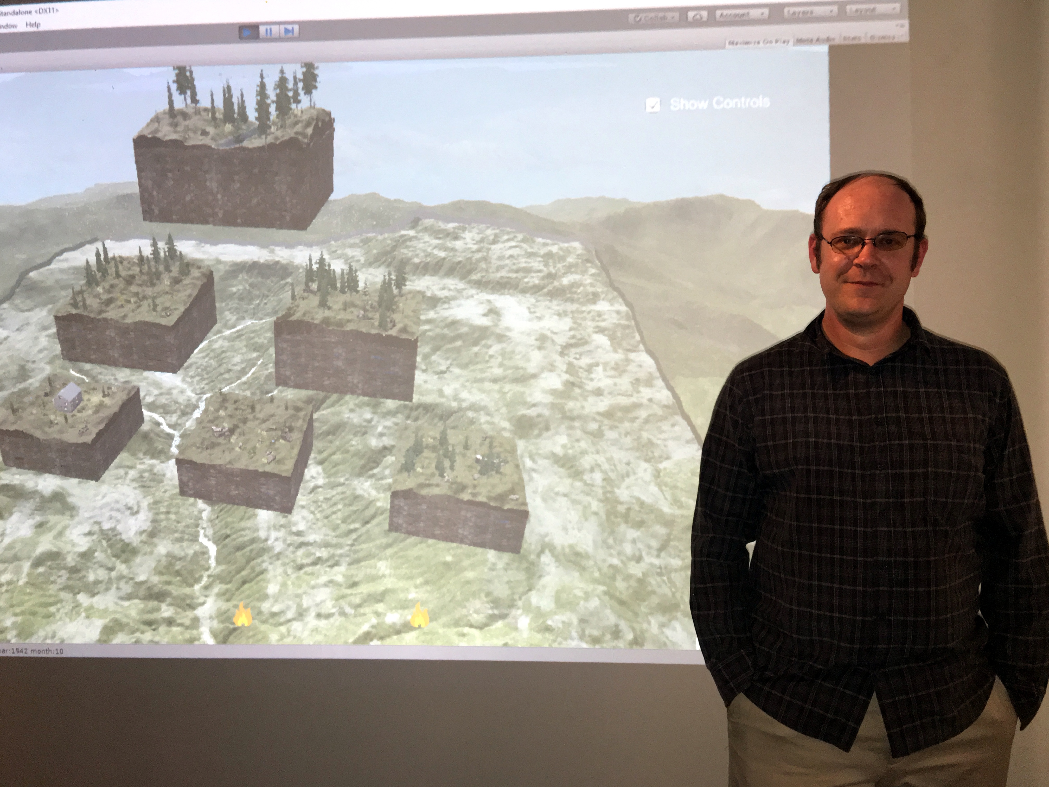
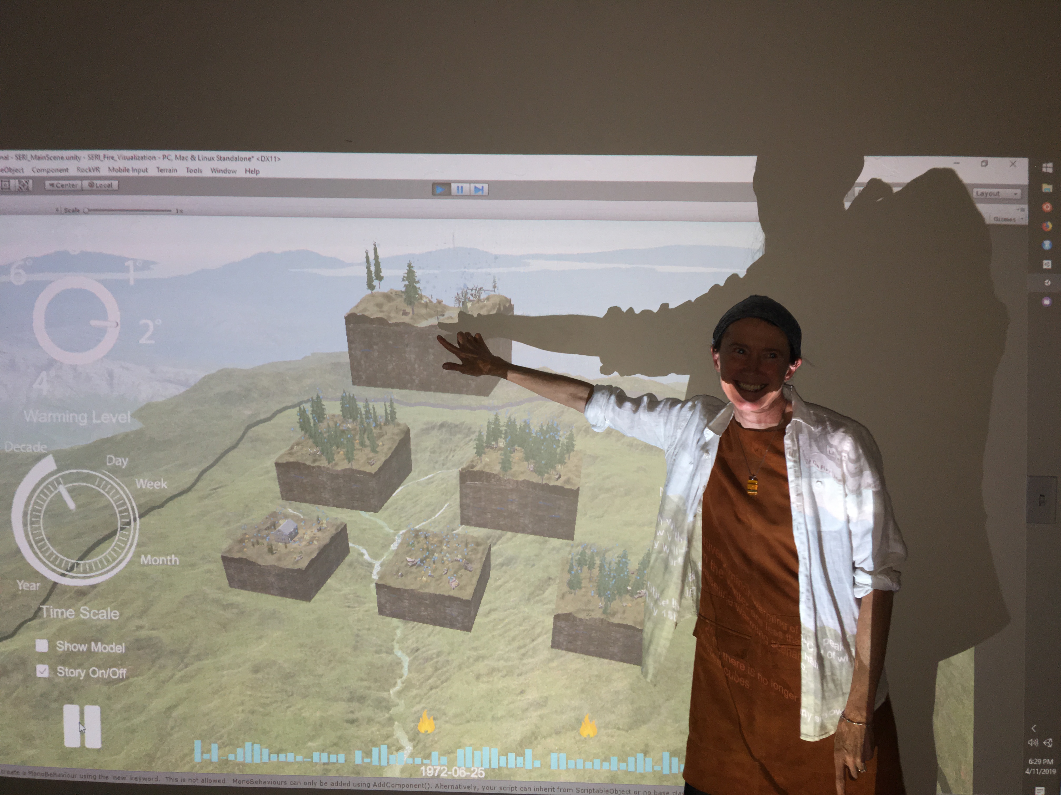
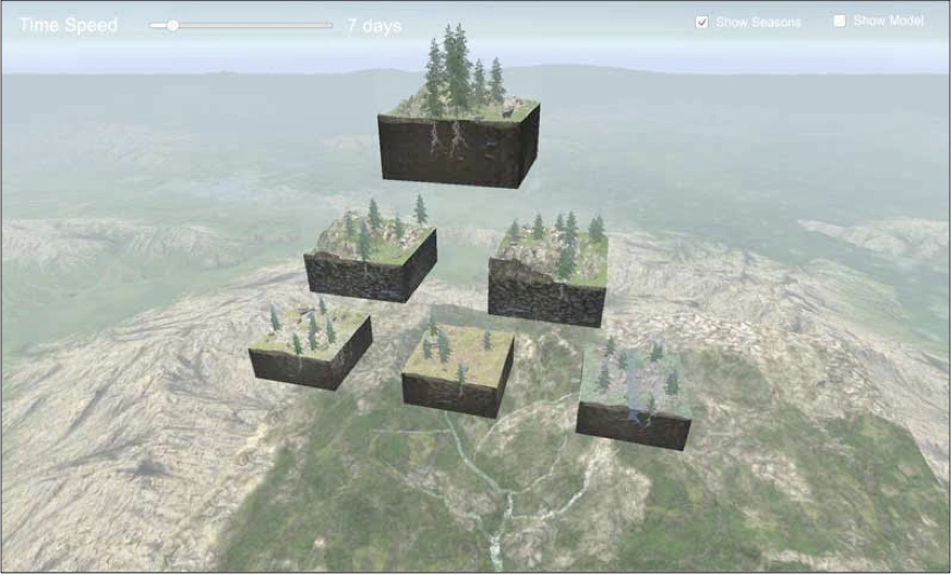
Animated RHESSys output
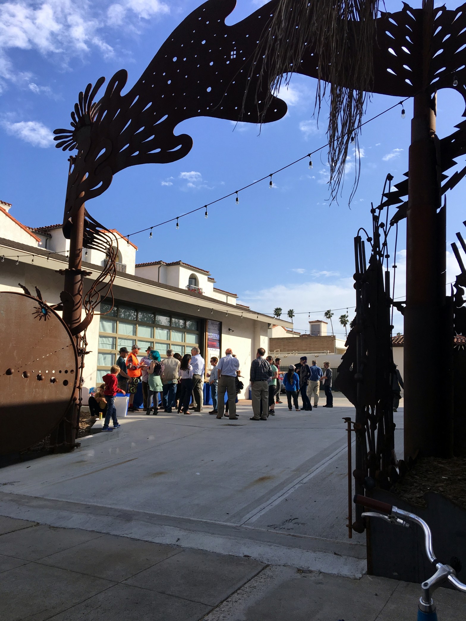
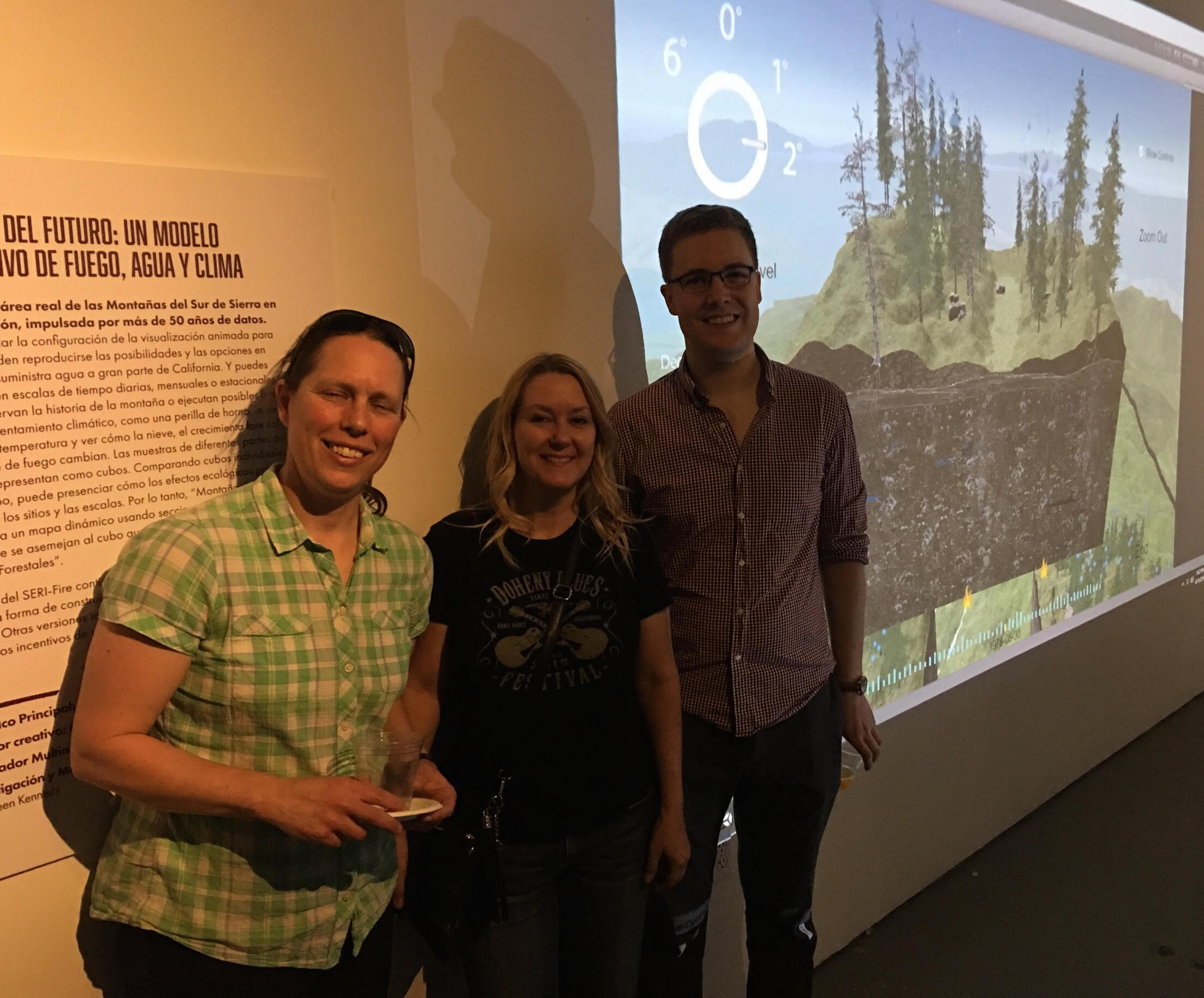
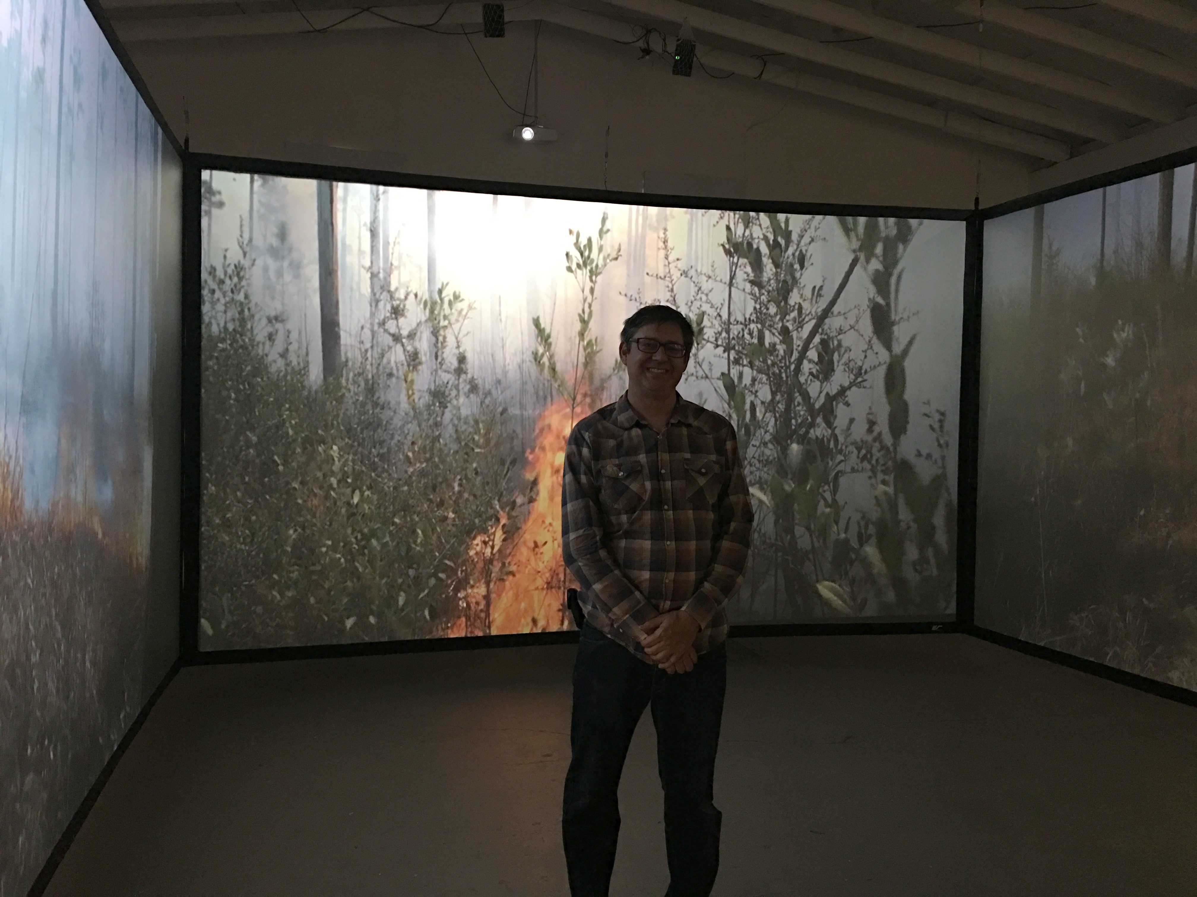
Scenes from last night’s “Burn Cycle: Living with Fire” event, where users were able to see animations of RHESSys model output, and ‘Walk into Fire’.
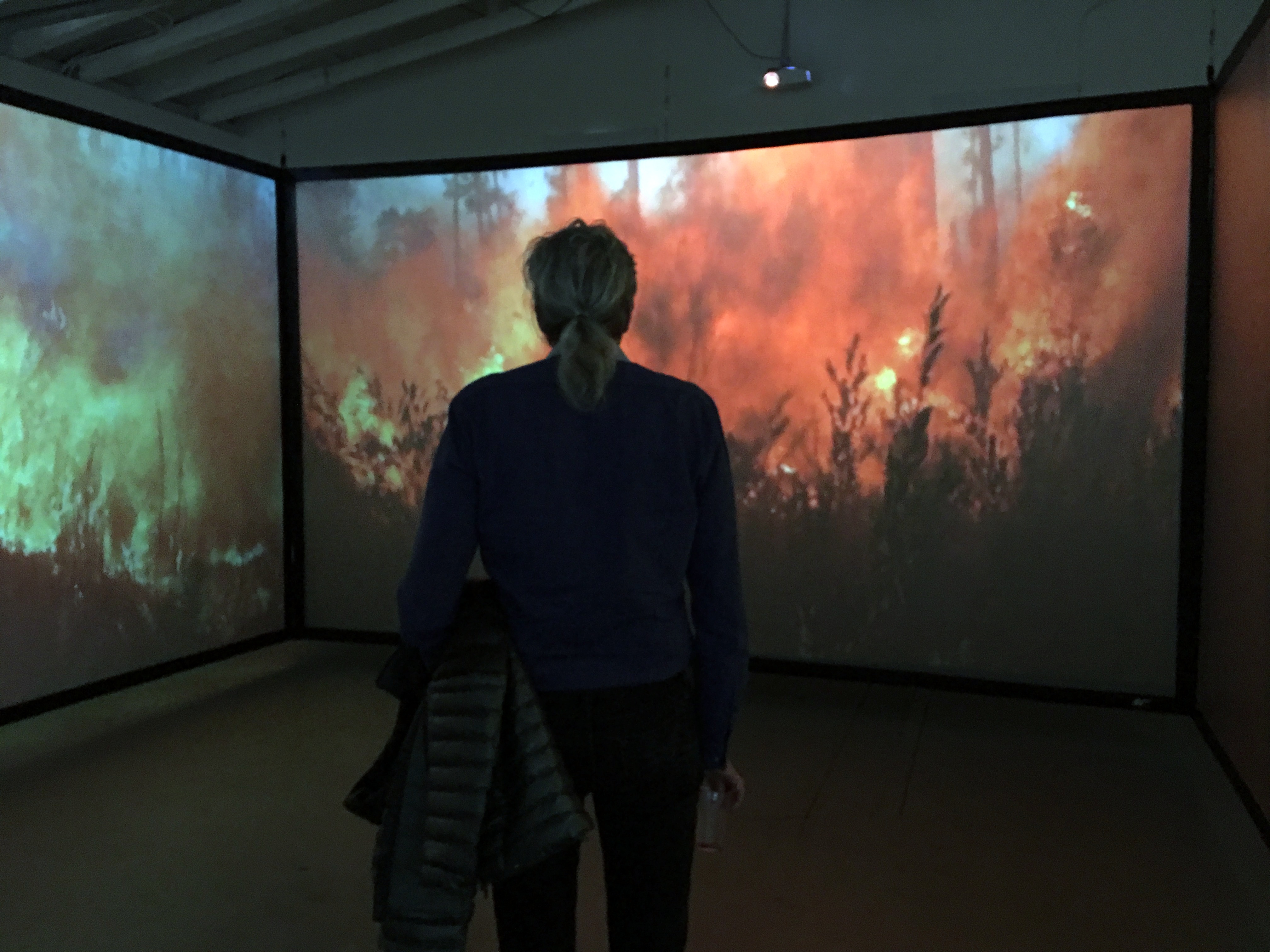

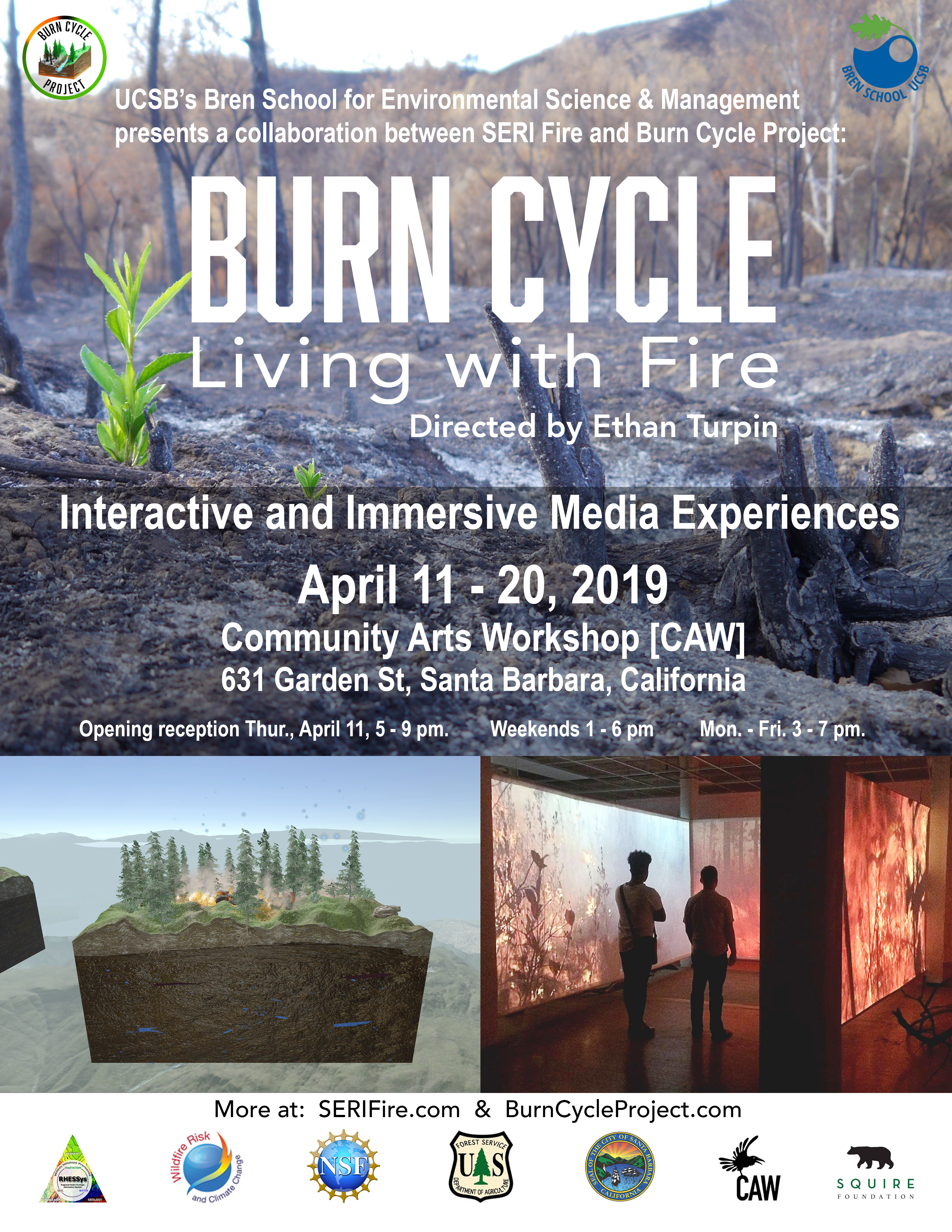
Burn Cycle Exhibit Opens Tonight!
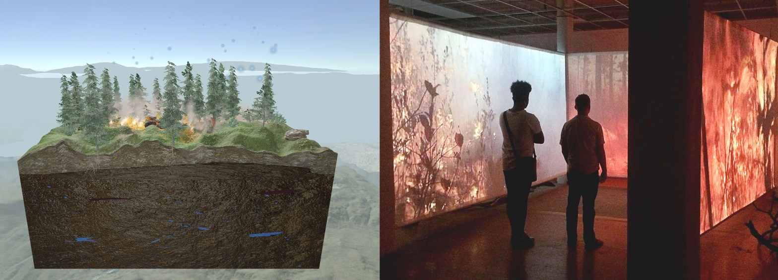
Opening tonight – “Burn Cycle: Living with Fire“. In this interactive and immersive media experience, you can see animated visual representations of RHESSys output for a watershed under warming and fire events. You can also experience what it is like to ‘Walk Into Wildfire‘ through a video projected environment on life size panels.
New Publication used RHESSys to develop a field sampling strategy

Estimates of snowmelt, root-zone soil moisture storage, and transpiration from the RHESSys model were used to design a soil moisture and sap flux field sampling strategy presented in the new publication “A top‐down soil moisture and sap flux sampling design of a rain‐snow transition mountain watershed”.
Do hillslope‐scale processes matter to predicting global change?
Hydrologists, Critical Zone scientists, and Earth System Model developers were brought together to address this question in the new publication “Hillslope hydrology in global change research and Earth system modeling”.
A discussion of why watersheds deserve attention
Naomi Tague took part in Westmont College’s Sustainability Speaker Series – “Why Watersheds Deserve Attention“, which featured a variety of panelists across disciplines to focus on pertinent environmental issues. The panel discussion highlighted watersheds as a tribute to The Westmont Ridley Tree Museum of Art’s new exhibit, “Watershed: Contemporary Landscape Photography“.
New Publication – Modeling Urban Hydrology

In this new publication, RHESSys was used to model the processes controlling the relationship between watershed condition and response in an urban watershed, exploring the effects of imperviousness, connectivity, and storm water control measures on runoff and nitrogen loads.
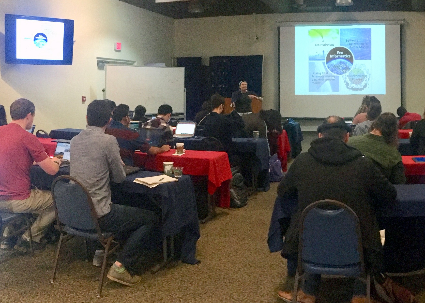
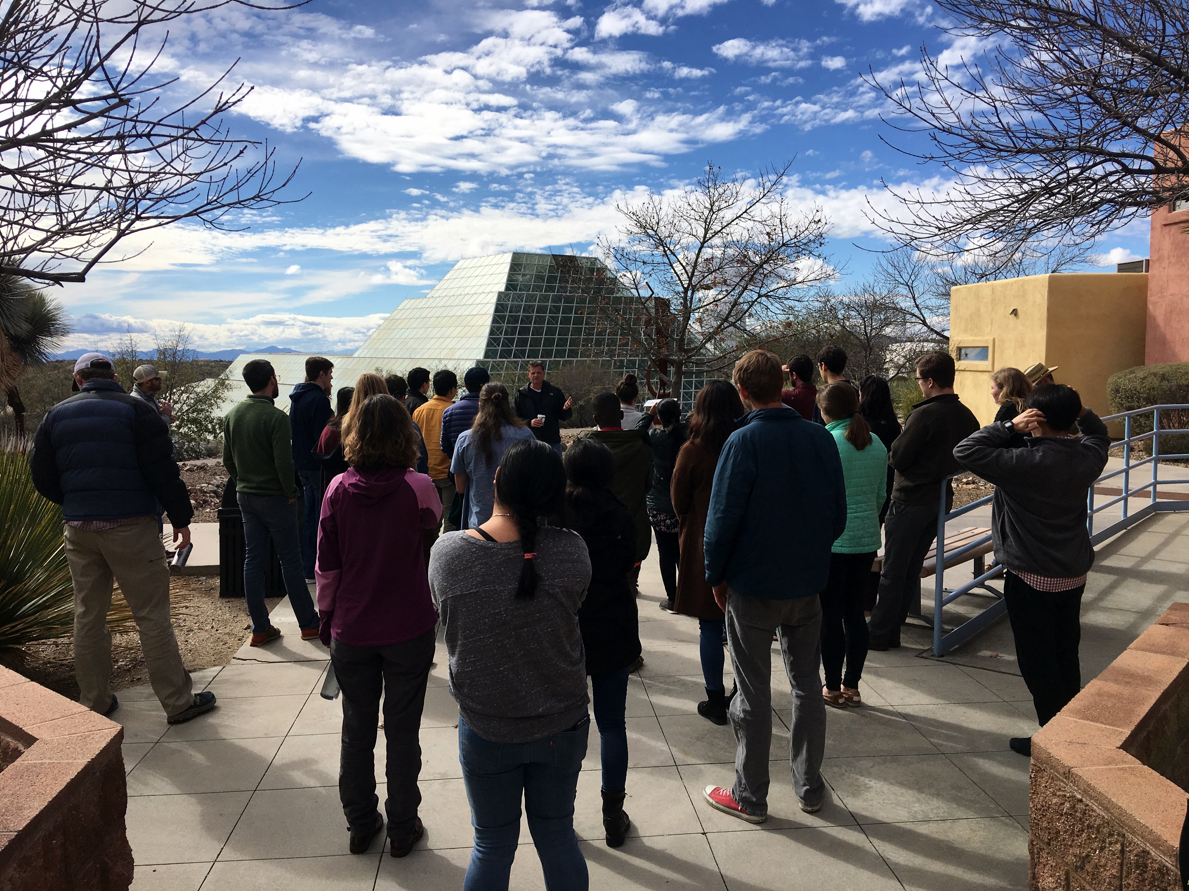
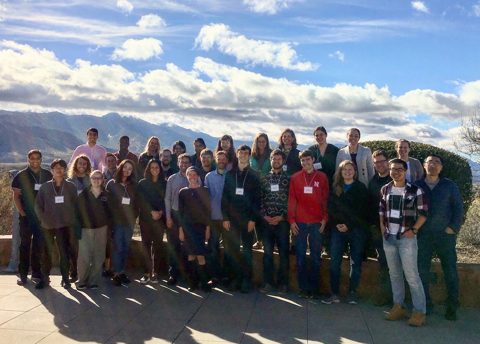
Watershed Masterclass
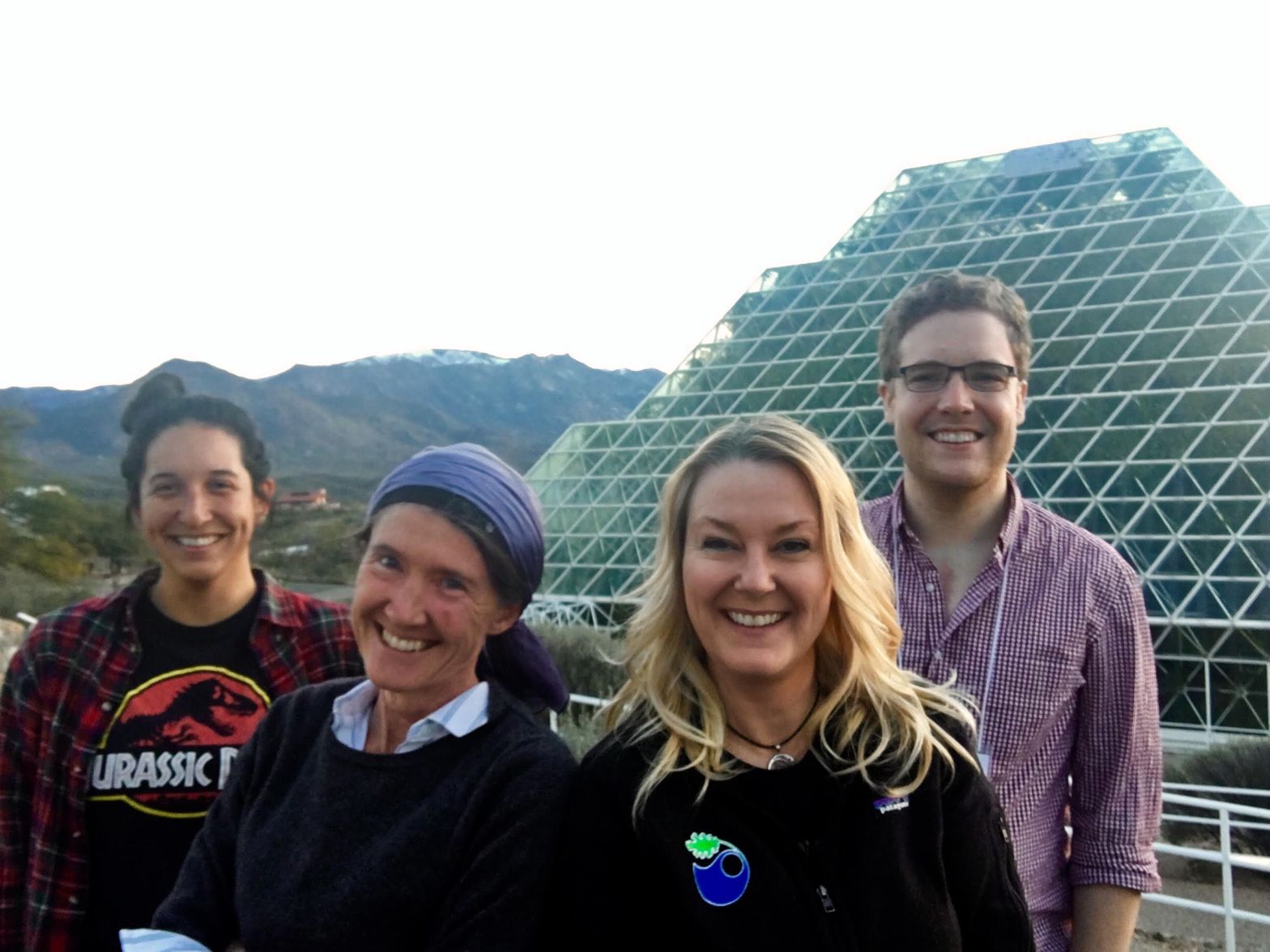
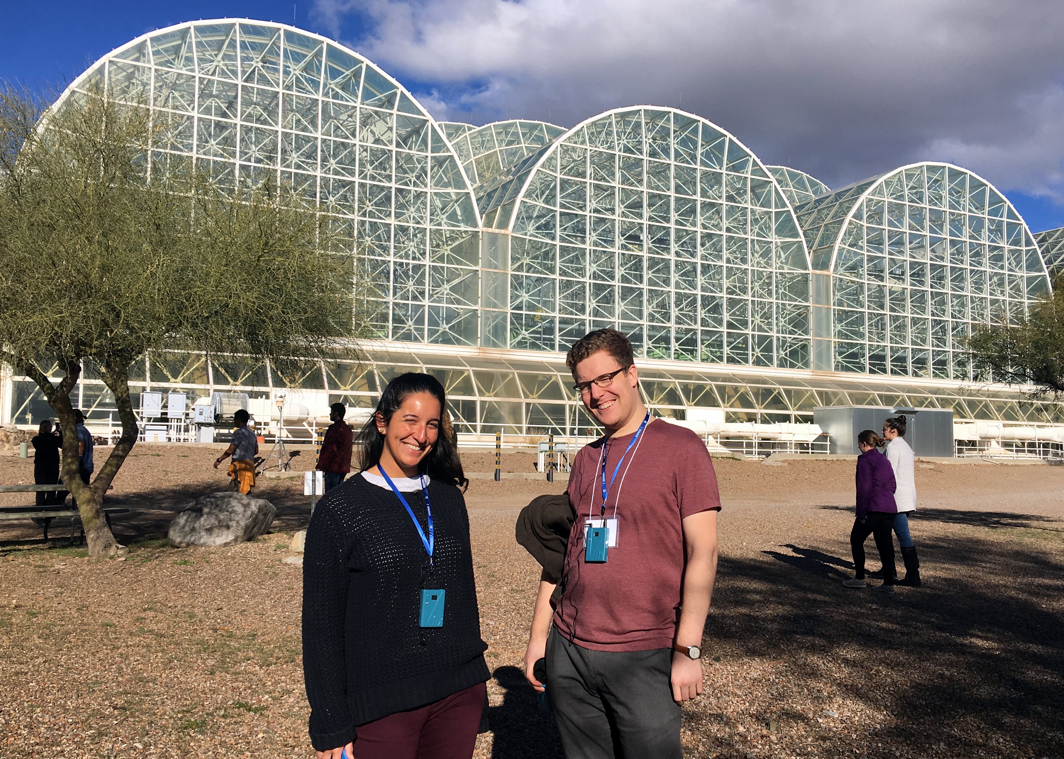
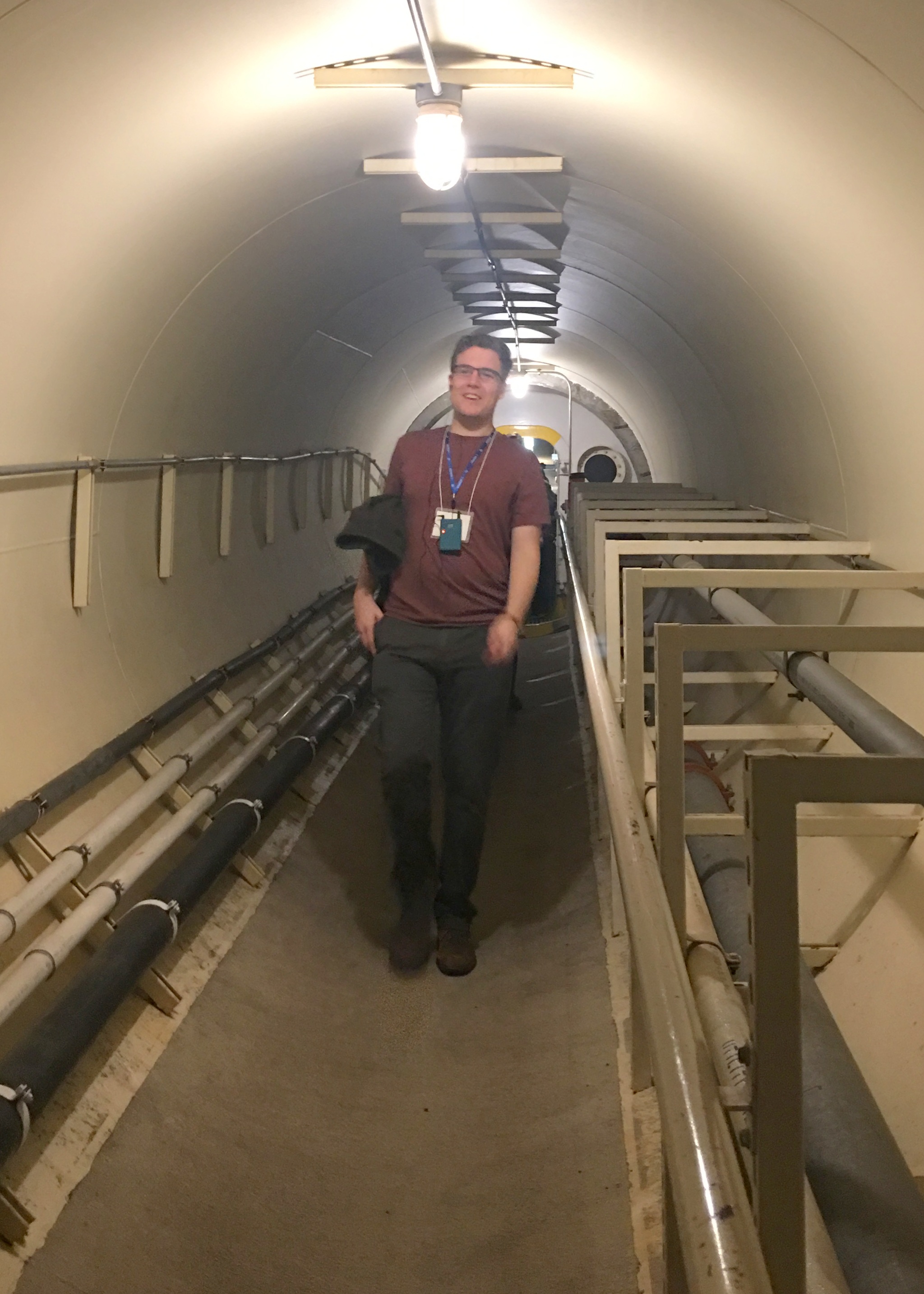
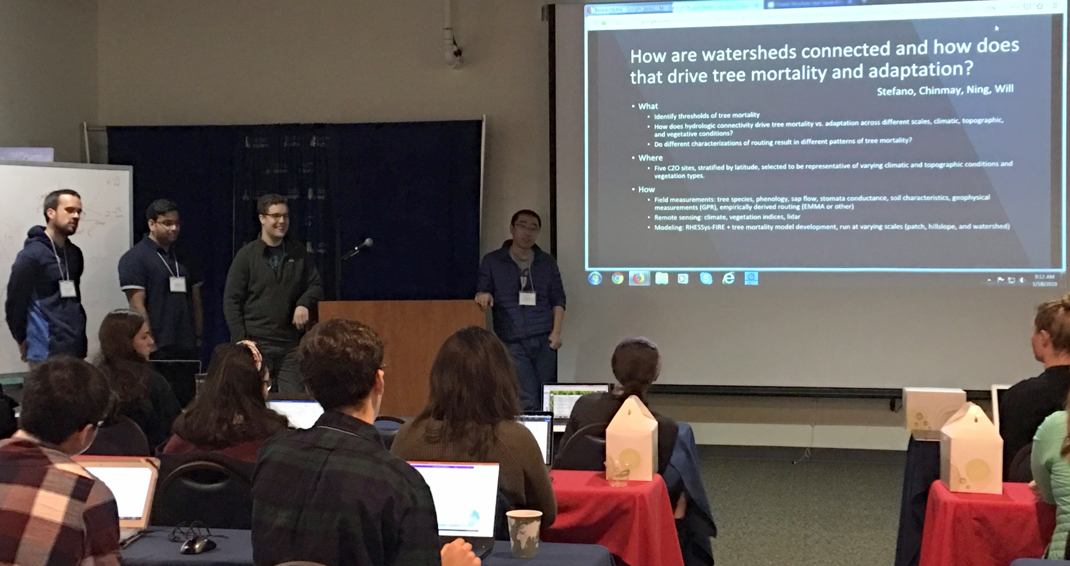
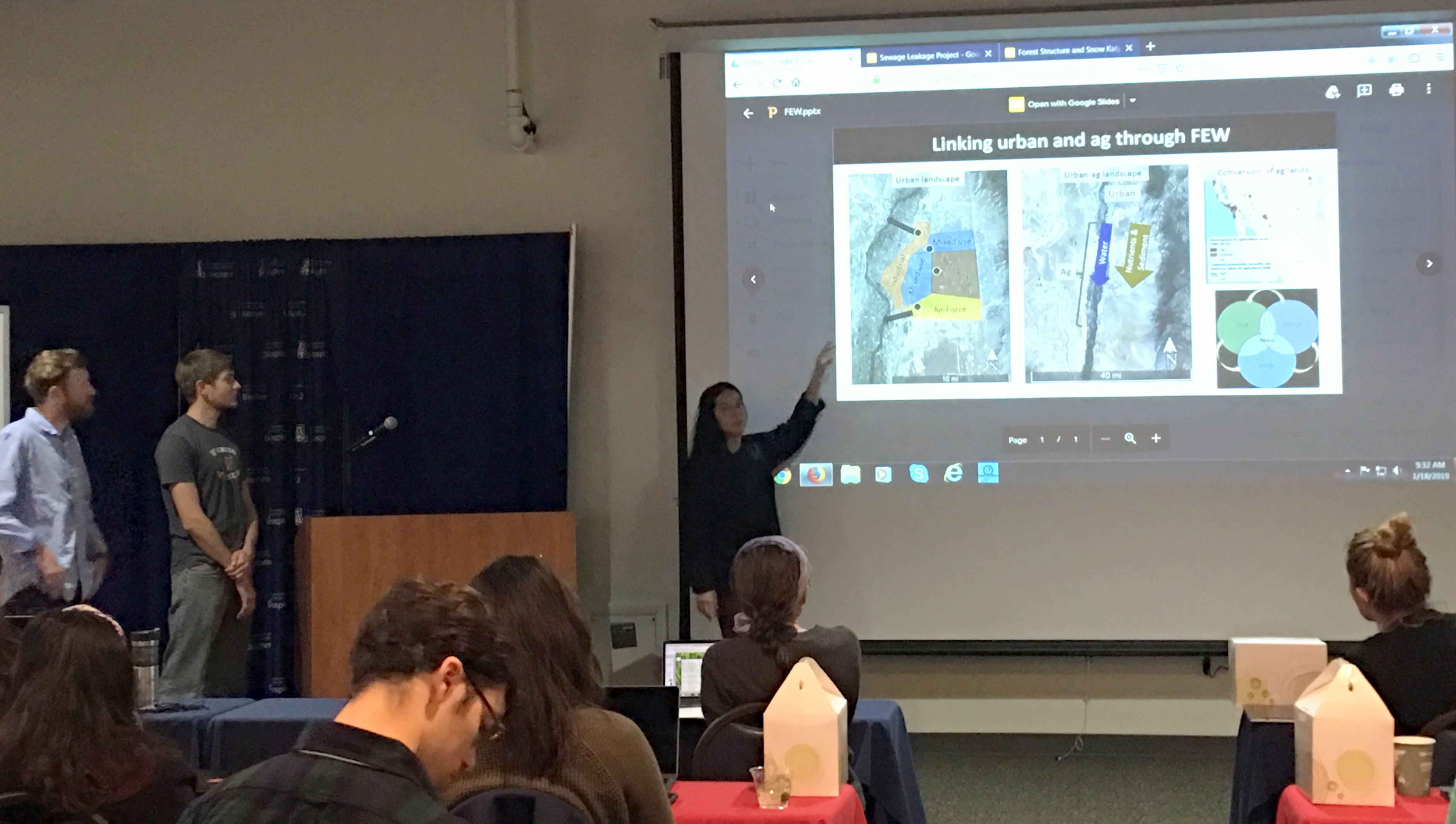
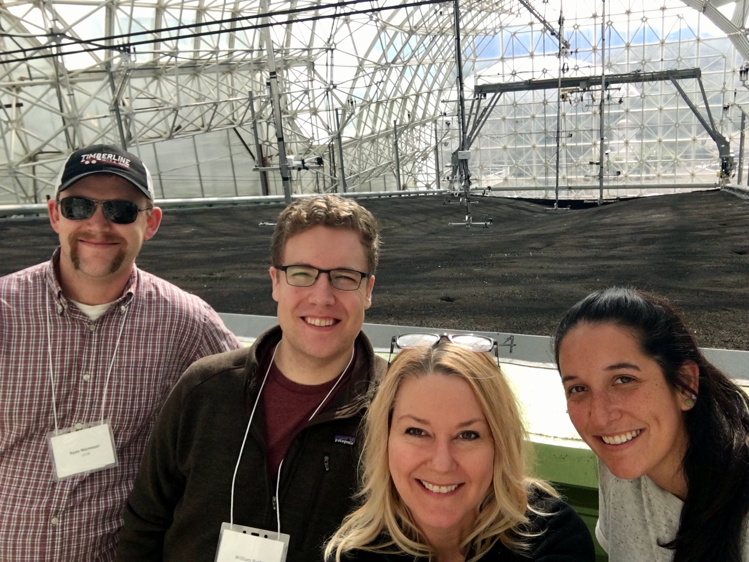
Last week, Professor Naomi Tague and Tague Team Lab members Will Burke (PhD student), Rachel Torres (PhD student), Janet Choate (Lab Manager), and Ryan Niemeyer (Postdoctoral Researcher) attended the CUAHSI Master Class: Advanced Techniques in Watershed Science.
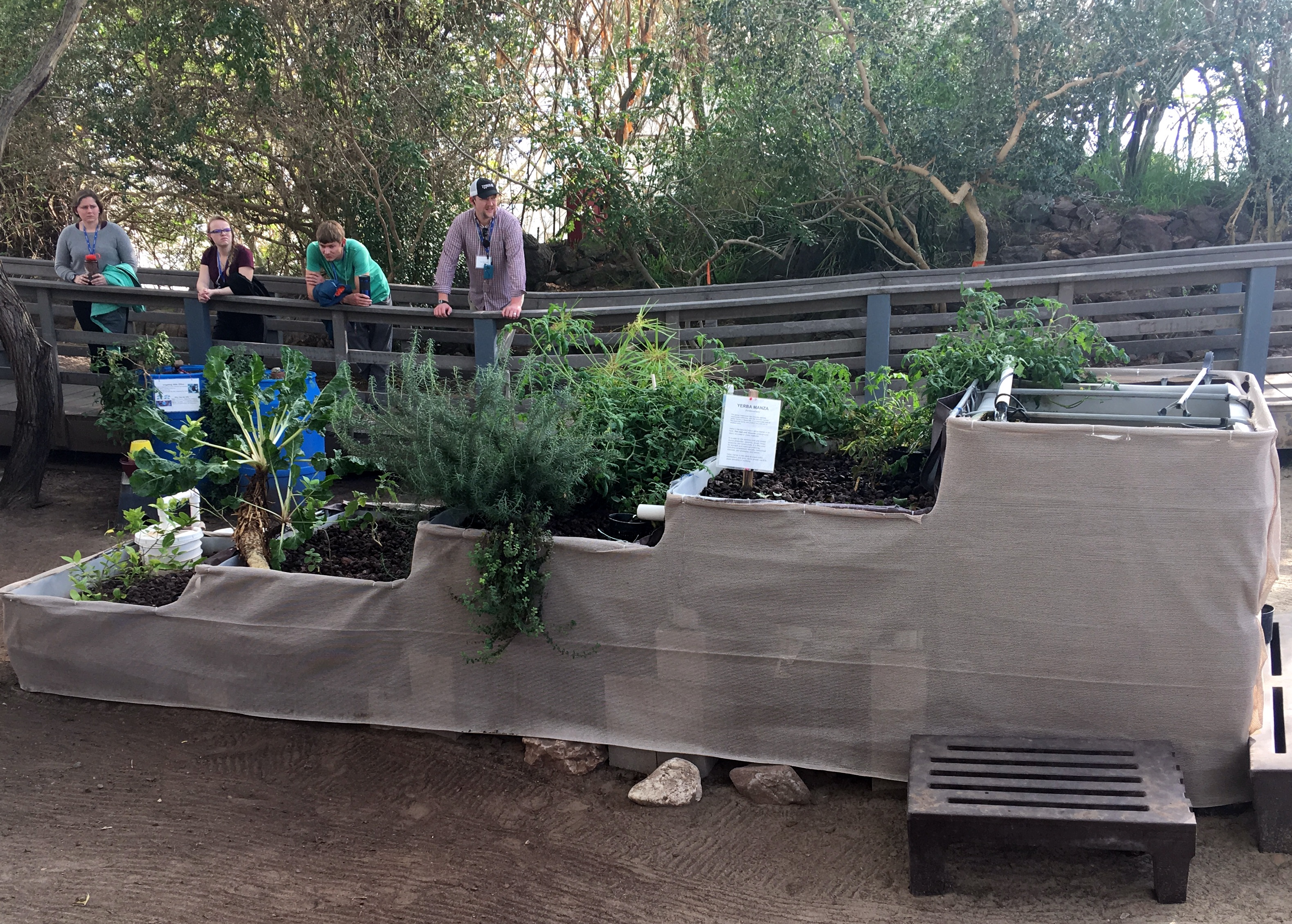
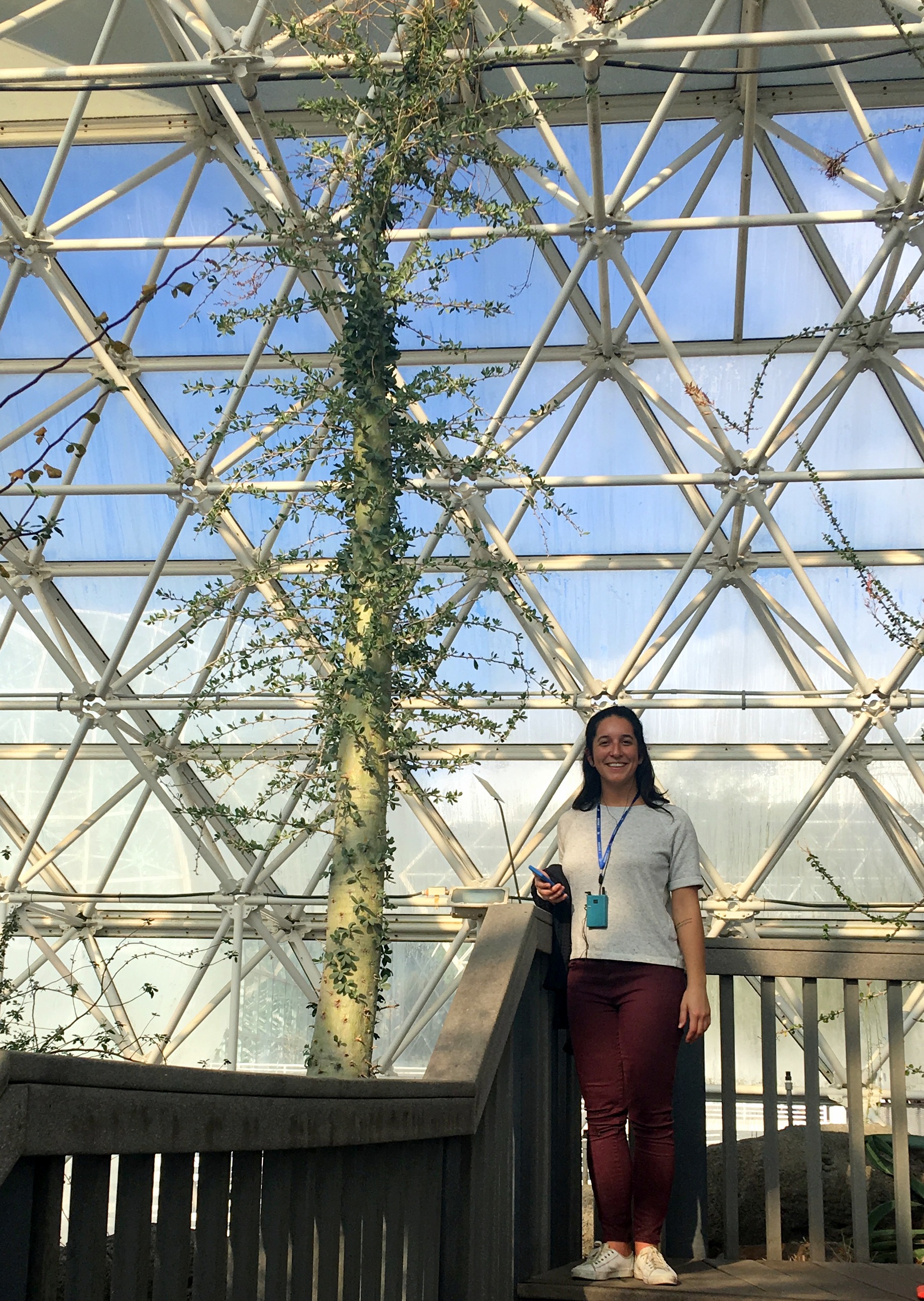
This week-long short course presented a unique opportunity for students, post-docs, and professionals to explore watershed hydrology and biogeochemistry at Biosphere2. Current understanding of hydrological, ecological and biogeochemical processes were explored, and advanced modeling and data analysis techniques were introduced.
Naomi Tague taught a section on “Confronting models with data & Models for Data Integration”, along with instructors Beth Boyer (Pennsylvania State University – “Runoff Generation Processes”), Ciaran Harman (Johns Hopkins University – “Transit Time Theory”), Richard Hooper (Tufts University – “Multi-tracer approaches in watershed science, End member mixing, Load estimation”), Peter Troch (University of Arizona – “Storage/Discharge relations”), and Janet Choate (TagueTeamLab manager, UCSB) who gave a short intro to R section. Class participants were able to share their current work in a poster session, and attendees were also granted a tour of B2 and LEO.

Tague presents at AGU
This morning at the 2018 American Geophysical Union (AGU) meeting in Washington DC, Naomi Tague’s presentation addressed how we visualize and communicate model output and underlying theories in “Animating ‘green stuff’ in hydrologic models: where we are and what is next”.
New Publication in Remote Sensing

This study examined one drought adaptation strategy, changes in planting decisions, using Airborne Visible/Infrared Imaging Spectrometer (AVIRIS) imagery from June 2013, 2014, and 2015 from the Central Valley of California.
Shivers, S.W., Roberts, D.A., McFadden, J.P., Tague, C. (2018) Using Imaging Spectrometry to Study Changes in Crop Area in California’s Central Valley during Drought, Remote Sensing 10(10): 1556. doi.org/10.3390/rs10101556
